Route 2. - from the hinterland to the coast
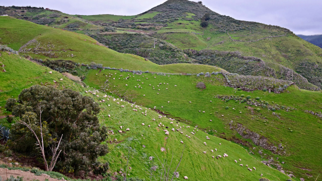
Caideros - Altos de Gáldar
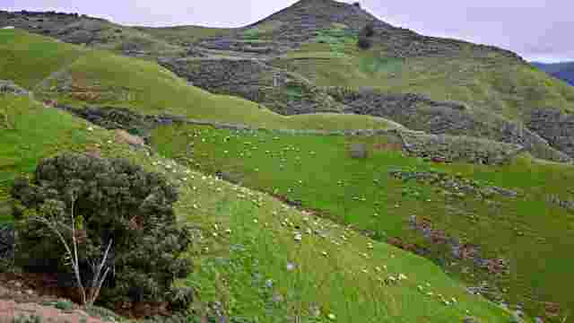
Enjoy views of the Agaete Valley, Tamadaba, the Atlantic and the Teide in a cool, rainy spot, formerly home to forests and cattle pastures.
One of the rainiest and coolest spots in Gran Canaria: a land of ancient forests that were once pasture for the axe and fire to give way to extensive pastures that feed the cattle that frequent them. Of all the old livestock farms spread across the island's peaks, those of Caidero and Montañón are located in a vantage point overlooking the warm Agaete Valley, Tamadaba, the Atlantic and the Teide, which crowns the island of Tenerife (Rural Atlas of Gran Canaria).
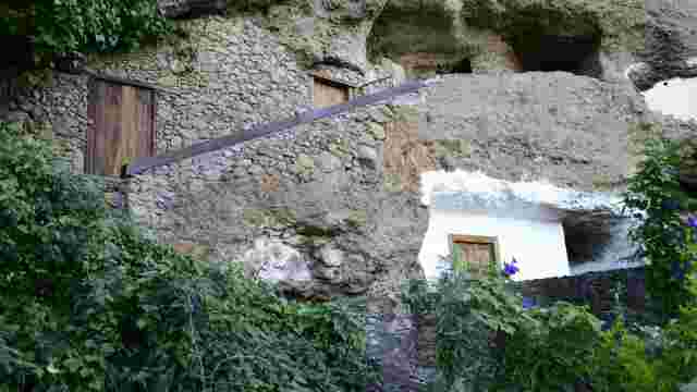
Hondo de Abajo Ravine
Discover an ancient troglodyte settlement in a ravine at an altitude of 1003 metres, with caves and ancient dwellings on cultivated terraces.
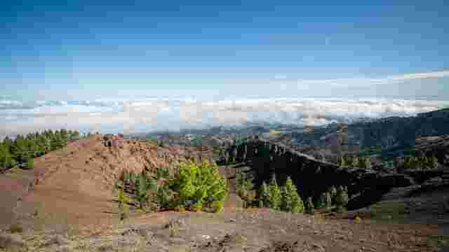
Mirador de Pinos de Gáldar
This viewpoint offers impressive views of the Montañón Negro and the Caldera de los Pinos, with ancient Canary Island pines and the remains of an ancient jun...
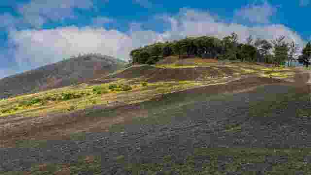
Montañón Negro Natural Monument (C-15)
Discover a 1669m Strombolian volcano, part of the island's most recent eruptive history, including a caldera of geological interest.
Caideros - Altos de Gáldar
Enjoy views of the Agaete Valley, Tamadaba, the Atlantic and the Teide in a cool, rainy spot, formerly home to forests and cattle pastures.
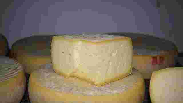
Flower cheese
Discover a unique gastronomic treasure in the world with PDO and handmade in the heights of Gran Canaria, with milk from local breeds and matured in caves.
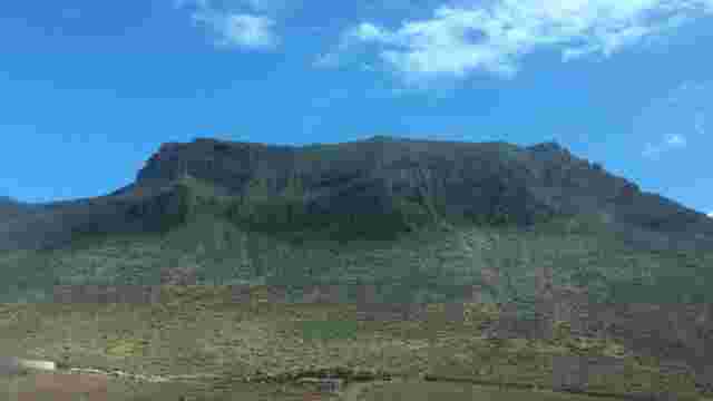
Amagro Natural Monument (C-13)
This 502-metre high mountain massif offers an interesting geological and cultural attraction, located next to a protected archaeological site.
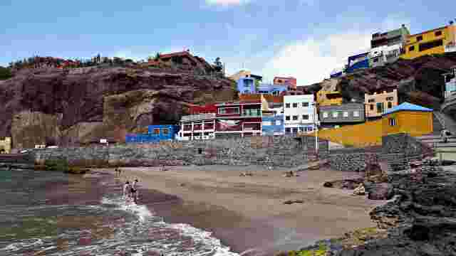
Sardina del Norte Beach
Discover a historic fishing port in a virtually unspoilt coastal setting, nestled between cliffs and shaped by trade winds and waves for fun.
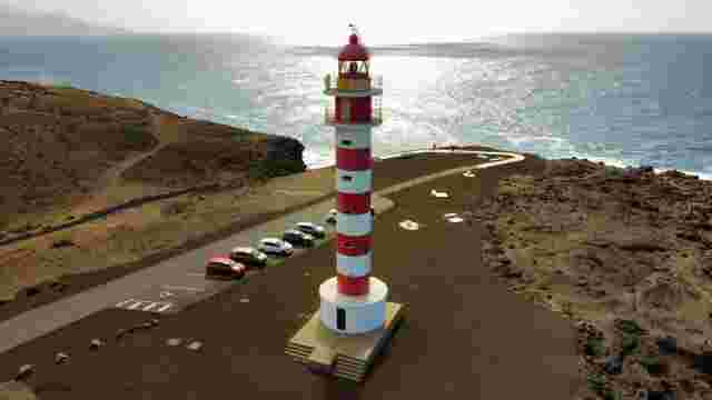
Punta Sardina Lighthouse
Spectacular viewpoint at the foot of the old lighthouse from where you can watch the best sunsets on the island.